
When the network knows nothing.
Installed maps, local references and governed retrieval remain useful after the bars disappear.
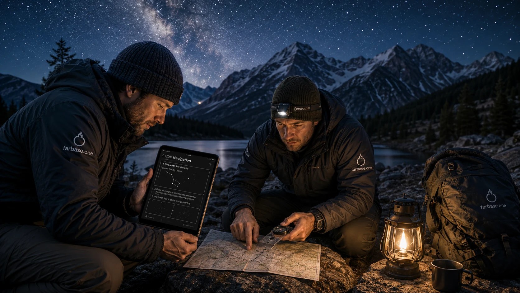
A blue dot can create a dangerous illusion.
We have become used to opening a map and watching the world assemble itself around us: roads, businesses, traffic, satellite images, reviews and directions. But much of that information is streamed over the internet. When the connection fails, the phone may still know where it is while the map underneath disappears.
That distinction is important.
Location is not the same as a map.
GPS, the Global Positioning System, uses signals from satellites to calculate location. It does not inherently require a cellular connection. But the map tiles, place search, route data and live conditions used by many apps often do. You can have coordinates and still have no useful map.
Farbase is built to close that gap.
Offline map packages are downloaded in advance and stored locally. They can include roads, terrain, trails, landmarks and elevation. Topographic maps show the shape of the land using contour lines. Each line represents a fixed elevation. When the lines sit close together, the ground is steep. When they spread apart, the slope is gentler.
That is not specialist trivia. Terrain determines whether a route is walkable, whether water is likely to collect, where visibility may improve and how long a short distance can actually take.
Terrain, routes and waypoints.
Farbase can also keep waypoints. A waypoint is a saved location, such as a vehicle, cabin, water source, trail junction or family meeting point. A breadcrumb trail records a series of positions so you can understand the route already traveled. A compass provides direction even when no road name exists.
The value is not limited to wilderness travel. After an earthquake, wildfire, flood or major storm, familiar routes may be blocked. Street signs may be damaged. Traffic information may be wrong because the network knows only what has been reported. The physical world changes faster than a server can understand it.
Farbase can also preserve location information in simple forms that travel well. Coordinates identify an exact point. Plus Codes can describe places without a traditional street address. These are not glamorous features, but they become valuable when a meeting place is remote, newly created or difficult to describe over a weak radio connection.
Navigation is judgment.
A local map gives you a stable base. Your own observations can then be added to it.
Farbase does not promise that every route is safe. No map can. It gives you something more honest: locally available information, clear tools and the ability to compare what the map says with what your eyes are telling you.
Navigation is not following a glowing line.
It is knowing where you are, where you need to go and what lies between.
When the network knows nothing, that knowledge should still belong to you.